


TORONTO PUBLIC LIBRARY SHOWCASES COLLECTION OF ANCIENT MAPS
Aug 12, 2016
By Michael Kramer
Share on
Ancient maps from the Toronto Public Library’s collection are in the spotlight.
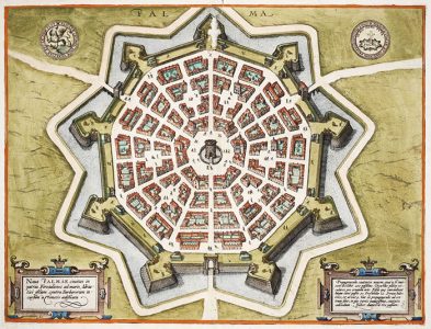
The Art of Cartography features some 50 items – from atlases to sea charts and celestial depictions – showcasing what the library describes as the “unexpected beauty” of maps – dating from the 16th to the 19th centuries.
. Some of the oldest items portray a considerable amount of fantasy – like the 1613 depiction of the North Pole by the renowned cartographer Gerhard Mercator – which shows a black rock at the top of the globe, surrounded by a whirlpool and river rapids.A 1592 map of Iceland reveals a variety of strange sea monsters – frolicking in the waves around the island.
The exhibition is at the downtown Toronto Reference Library until October 13th.
.
The exhibition is at the downtown Toronto Reference Library until October 13th.
Advertise With Us
To learn about advertising opportunities with Zoomer Radio use the link below:
Join Our Fan Club
Coverage Area
Downtown Toronto
96.7FM
Toronto HD
96.3 HD-2
Kingston to Windsor, Parry Sound to Pittsburgh
AM740


 Part of
© 2024 | Executive producer Moses Znaimer